CNIGS Drone LAB
Laboratoire de drones du CNIGS
République d'Haïti

OuR mission
Notre mission
The Centre Nationale de l'Information Géospatiale (CNIGS) is the Government of Haiti's agency charged with the generation and dissemination of geographic information of Haiti.
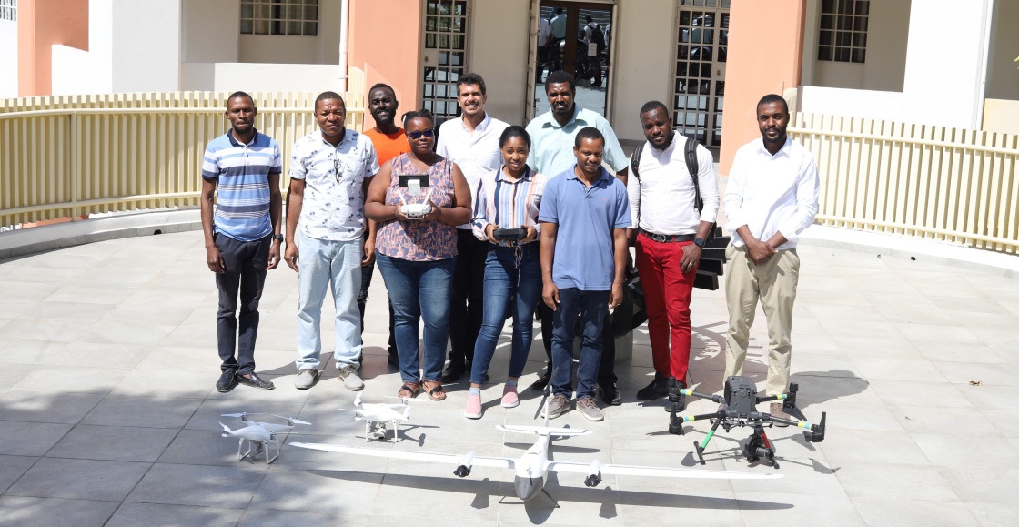
To this end, in 2022 the Center began development of an internal drone lab to augment its data collection capabilities.
Le Centre National de l'Information Géospatiale est l'agence du gouvernement d'Haïti chargée de la génération et de la diffusion de l'information géographique d'Haïti.
À cette fin, en 2022, le Centre a commencé le développement d'un laboratoire de drones interne pour augmenter ses capacités de collecte de données.

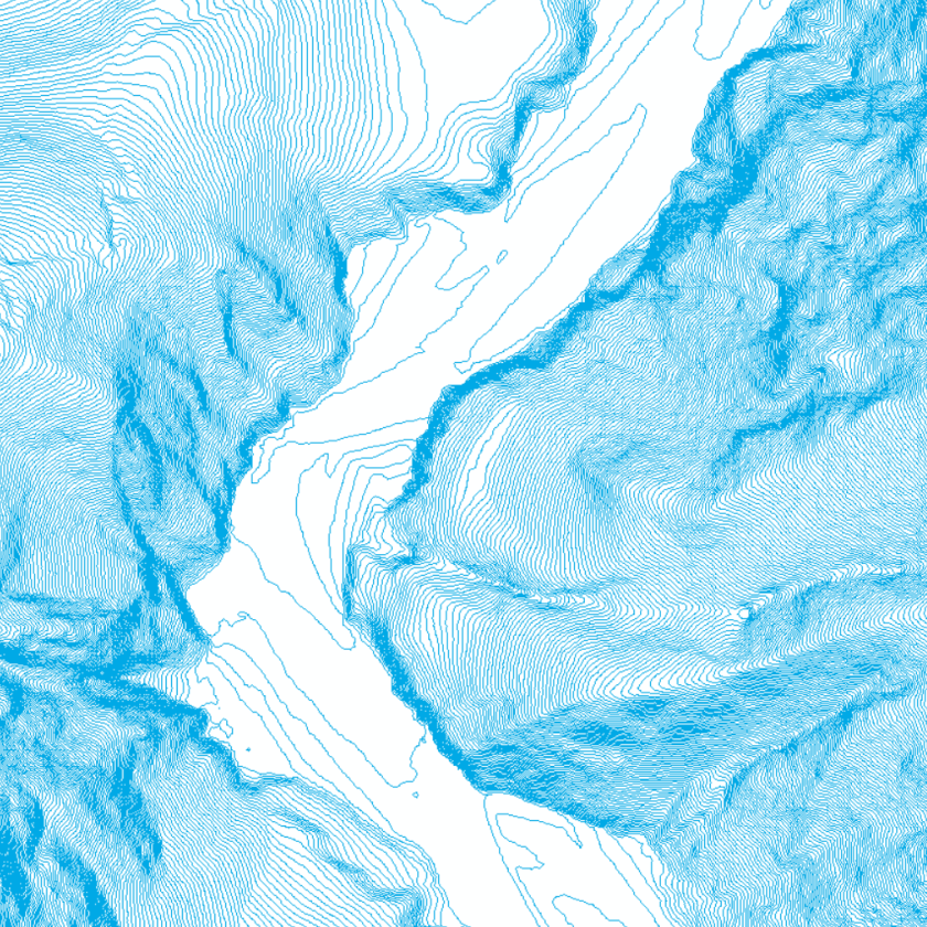
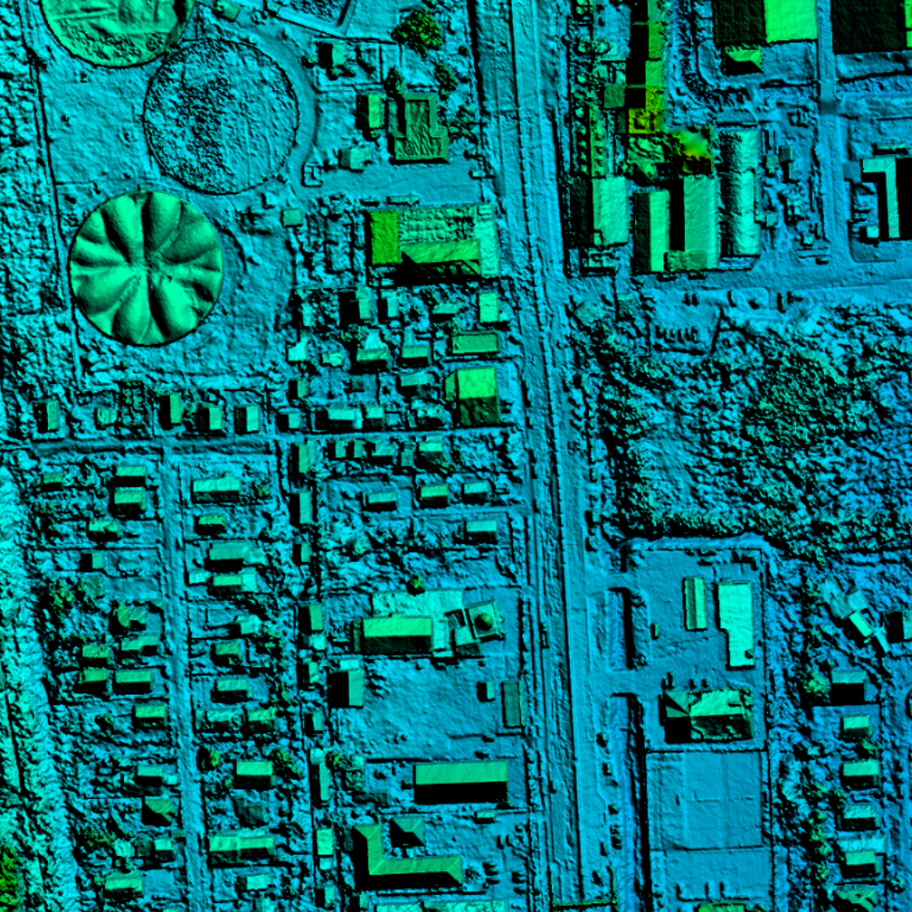
Topographic Models
Modèles topographiques

Disaster Response
Intervention en cas de catastrophe

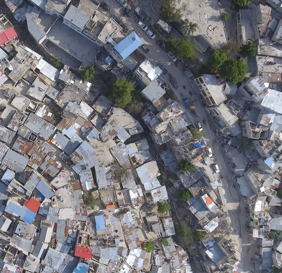
Aerial Imagery
Imagerie aérienne
About CNIGS
A propos du CNIGS
The National Center for Geo-Spatial Information, (french: Le Centre Nationale de l'Information Géo-Spatiale or CNIGS) is a public agency in Haiti, within the Ministry of Planning.
The mission of the Centre is to generate and disseminate geographic information of Haiti through the application of modern technologies; ensuring the availability of methods, tools, products and training, in order to support the action planning for sustainable development of the country.
Le Centre Nationale de l'Information Géo-Spatiale (CNIGS) est un organisme public en Haïti, au sein du Ministère de la Planification et de la Coopération Externe
La mission du Centre est de générer et de diffuser des informations géographiques sur Haïti grâce à l'application de technologies modernes ; assurer la disponibilité des méthodes, des outils, des produits et de la formation, afin de soutenir la planification des actions pour le développement durable du pays.